The twisty road map of the Tour de France - often described as the world’s most prestigious and challenging cycling race - features a mix of flat, hilly, and mountainous stages. The race is not just a test of individual strength but also team strategy, endurance, and resilience.

The pack with Slovenia's Tadej Pogacar, wearing the overall leader's yellow jersey, passes the Arc de Triomphe during the twenty-first stage of the Tour de France cycling race over 132.3 kilometers (82.1 miles) with start in Mantes-la-Ville and finish on the Champs-Elysees in Paris, France, Sunday, July 27, 2025. (AP Photo/Mosa'ab Elshamy)
STAGE 1
LILLE MÉTROPOLE to LILLE MÉTROPOLE (Start)
The Tour de France began with the Grand Départ in Lille, a northern French city near the Belgian border. It marked the official start of the race with a festive celebration.
Stage 2: This stage was the longest trek of this year’s race with about 4 kilometers of climbing. It favors strong climbers and aggressive breakaway riders.
STAGE 2
LAUWIN-PLANQUE to BOULOGNE-SUR-MER (Longest stretch of 2025 Tour de France at 209.1 km)
The stretch from Lauwin-Planque to Boulogne-Sur-Mer is a marathon, not a sprint. It was the longest stretch of the race at 209.1 kilometers, or 129.93 miles.
Stage 12: This stage featured several challenging climbs.
STAGE 12
AUCH to HAUTACAM (Pyrenees)
Auch to Hautacam was the first mountain stage of the race, with 3,850 meters in elevation over the course, or 12,631 feet. The stage introduced the Pyrenees.
Stage 16: This stage is notable for its race to the top of the famed barren mountain known as the “Beast of Provence.”
STAGE 16
MONTPELLIER to MONT VENTOUX
The 16th stage may seem straightforward at the start, but riders had to ascend to one of the highest point in elevation of the race. Mont Ventoux returned to the route after four years.
Stage 21: The final stage features a cobbled climb before riders enter Paris to complete 3 laps of the iconic landmark.
STAGE 21
MANTES-LA-VILLE>PARIS CHAMPS-ÉLYSÉES (Finish)
The final stage of the Tour de France concluded at the iconic Champs-Elysees in Paris with Slovenian rider Tadej Pogačar winning his fourth Tour title. But before riders crossed the finish line, they had to face the cobbled streets of Côte de la Butte Montmartre three times.

Tour de France winner Tadej Pogacar of Slovenia reacts after the twenty-first stage of the Tour de France cycling race over 132.3 kilometers (82.1 miles) with start in Mantes-la-Ville and finish on the Champs-Elysees in Paris, France, Sunday, July 27, 2025. (AP Photo/Mosa'ab Elshamy)

Slovenia's Tadej Pogacar, the Tour de France winner, is greeted by his partner Urska Zigart after finishing, the twenty-first stage of the Tour de France cycling race over 132.3 kilometers (82.1 miles) with start in Mantes-la-Ville and finish on the Champs-Elysees in Paris, France, Sunday, July 27, 2025. (Yoan Valat, Pool Photo via AP)

Slovenia's Tadej Pogacar, wearing the overall leader's yellow jersey, pedals by the Sacre Coeur basilica in the Montmartre district, during the last stage of the Tour de France cycling race between Mantes-la-Ville and Paris, Sunday, July 27, 2025 in Paris (AP Photo/Thomas Padilla)
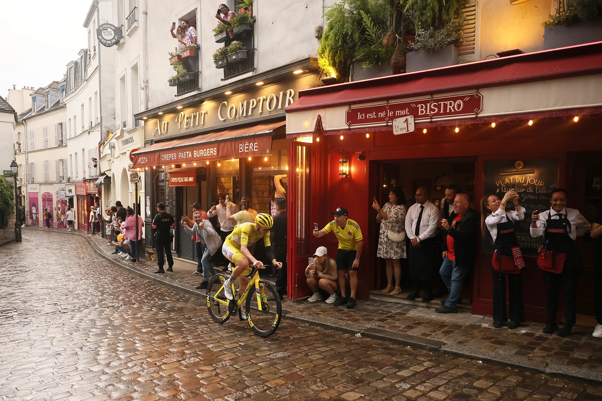
Slovenia's Tadej Pogacar, wearing the overall leader's yellow jersey, pedals at the Place de Tertre in the Montmartre district, during the last stage of the Tour de France cycling race between Mantes-la-Ville and Paris, Sunday, July 27, 2025 in Paris (AP Photo/Thomas Padilla)

A boy shouts as the pack rides up the Montmartre hill during the last stage of the Tour de France cycling race between Mantes-la-Ville and Paris, Sunday, July 27, 2025 in Paris (AP Photo/Laurent Cipriani)

The pack with Slovenia's Tadej Pogacar, wearing the overall leader's yellow jersey, rides during the twenty-first stage of the Tour de France cycling race over 132.3 kilometers (82.1 miles) with start in Mantes-la-Ville and finish on the Champs-Elysees in Paris, France, Sunday, July 27, 2025. (AP Photo/Thibault Camus)

Dancers, one riding a bicycle, perform outside the Moulin Rouge cabaret during the last stage of the Tour de France cycling race between Mantes-la-Ville and Paris, Sunday, July 27, 2025 in Paris (AP Photo/Michel Euler)
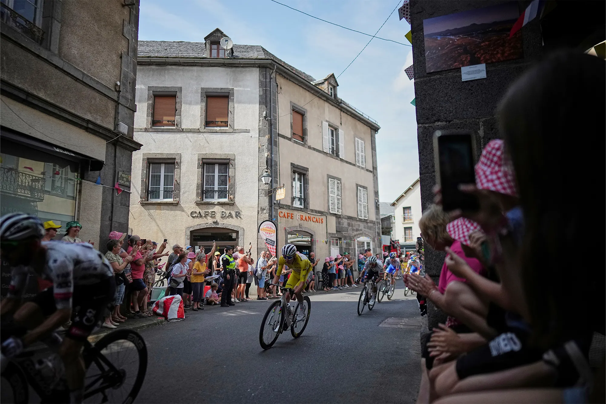
Slovenia's Tadej Pogacar, wearing the overall leader's yellow jersey, rides in the pack during the tenth stage of the Tour de France cycling race over 165.3 kilometers (102.7 miles) with start in Ennezat and finish in Le Mont-Dore Puy de Sancy, France, Monday, July 14, 2025. (AP Photo/Thibault Camus)
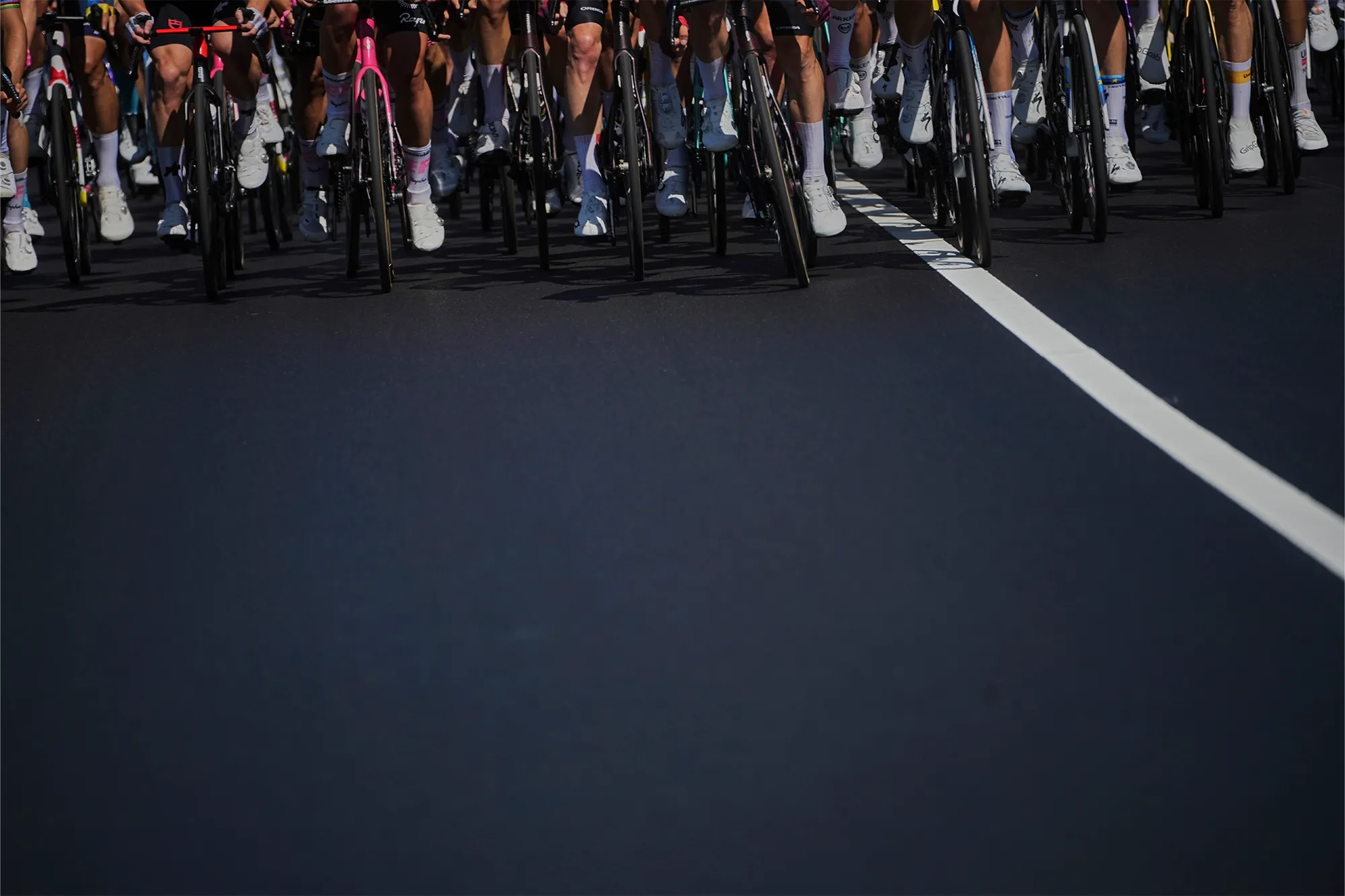
The pack rides during the fourth stage of the Tour de France cycling race over 172.2 kilometers (107 miles) with start in Amiens and finish in Rouen, France, Tuesday, July 8, 2025. (AP Photo/Thibault Camus)
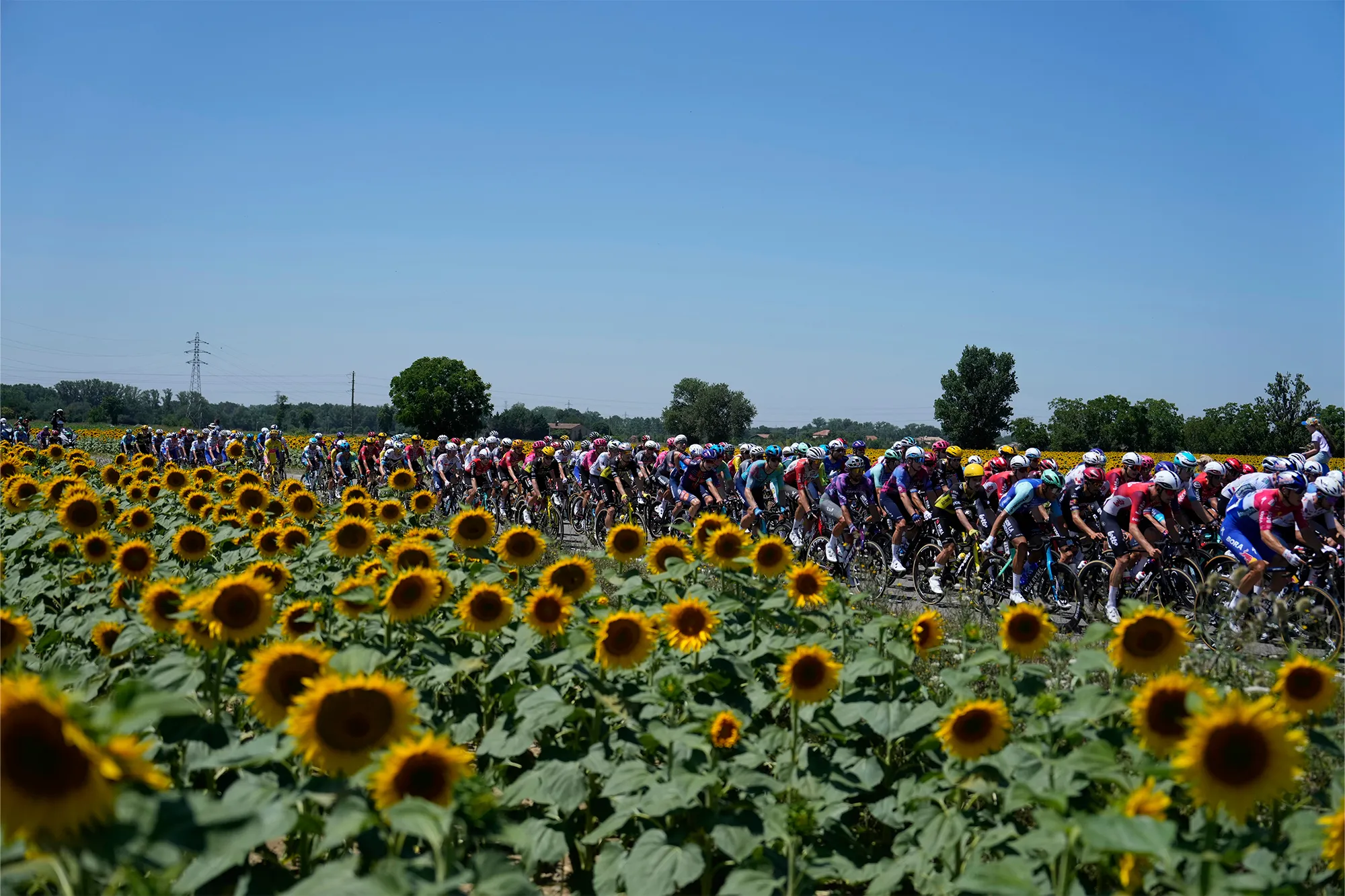
The pack rides past a field of sunflowers during the eleventh stage of the Tour de France cycling race over 156.8 kilometers (97.4 miles) with start and finish in Toulouse, France, Wednesday, July 16, 2025. (AP Photo/Mosa'ab Elshamy)
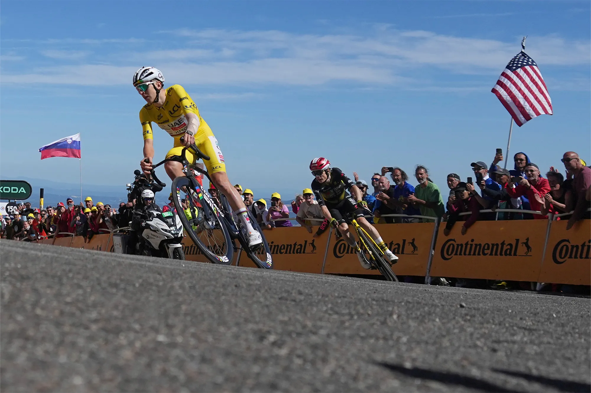
Slovenia's Tadej Pogacar, wearing the overall leader's yellow jersey, and Denmark's Jonas Vingegaard sprint towards the finish line of the sixteenth stage of the Tour de France cycling race over 171.5 kilometers (106.6 miles) with start in Montpellier and finish on the Mont Ventoux, France, Tuesday, July 22, 2025. (AP Photo/Thibault Camus)
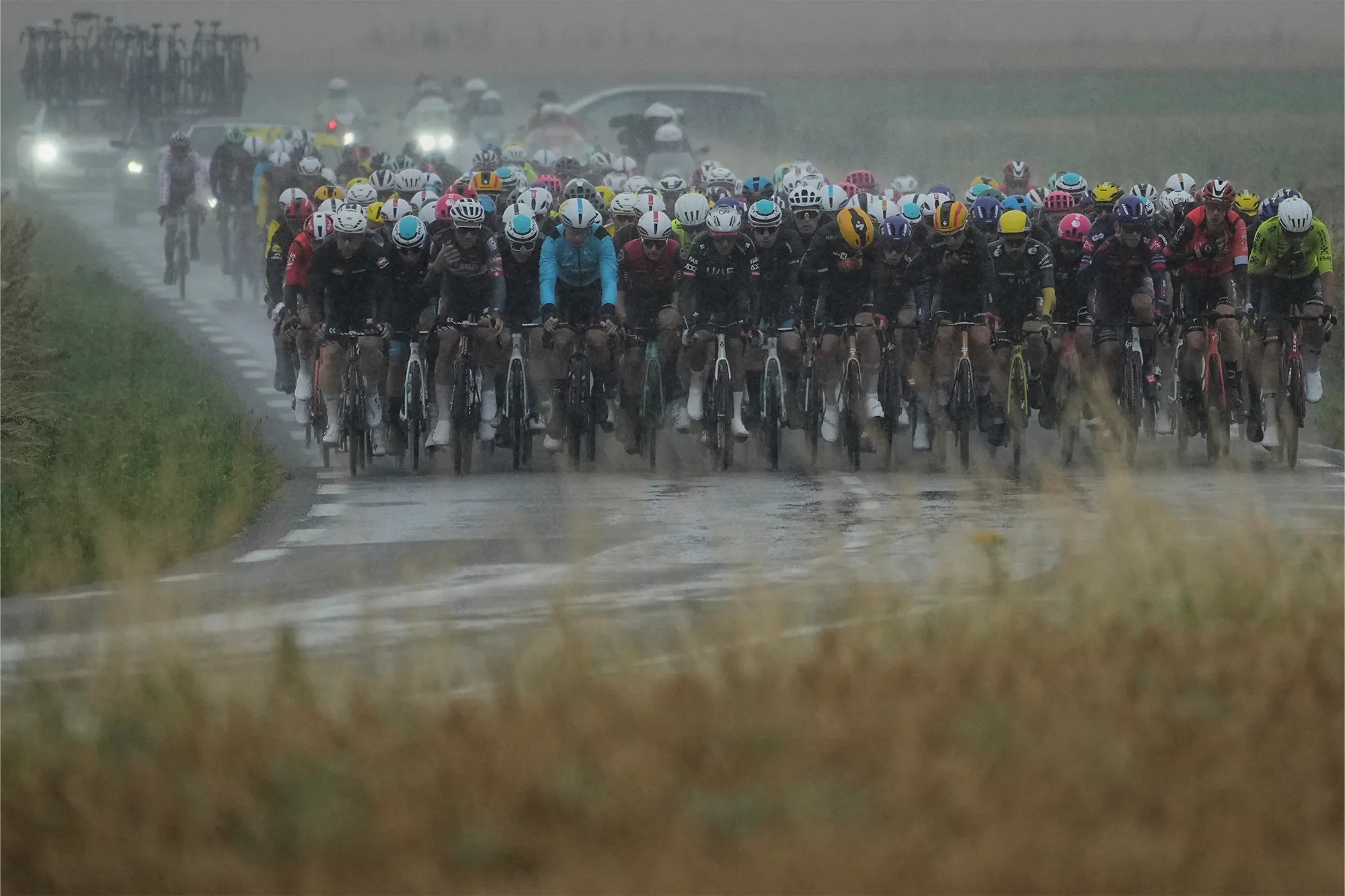
The pack rides during the second stage of the Tour de France cycling race over 209.1 kilometers (129.9 miles) with start in Lauwin-Planque and finish in Boulogne-sur-Mer, France, Sunday, July 6, 2025. (AP Photo/Thibault Camus)

Fans watch the riders during the first stage of the Tour de France cycling race over 184.9 kilometers (114.9 miles) with start and finish in Lille, France, Saturday, July 5, 2025. (AP Photo/Mosa'ab Elshamy)
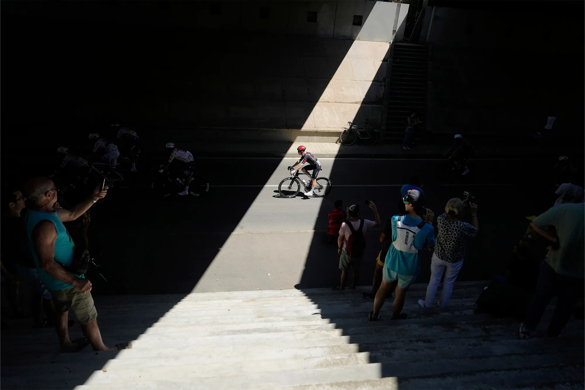
Spectators take photos of the riders during the eleventh stage of the Tour de France cycling race over 156.8 kilometers (97.4 miles) with start and finish in Toulouse, France, Wednesday, July 16, 2025. (AP Photo/Mosa'ab Elshamy)
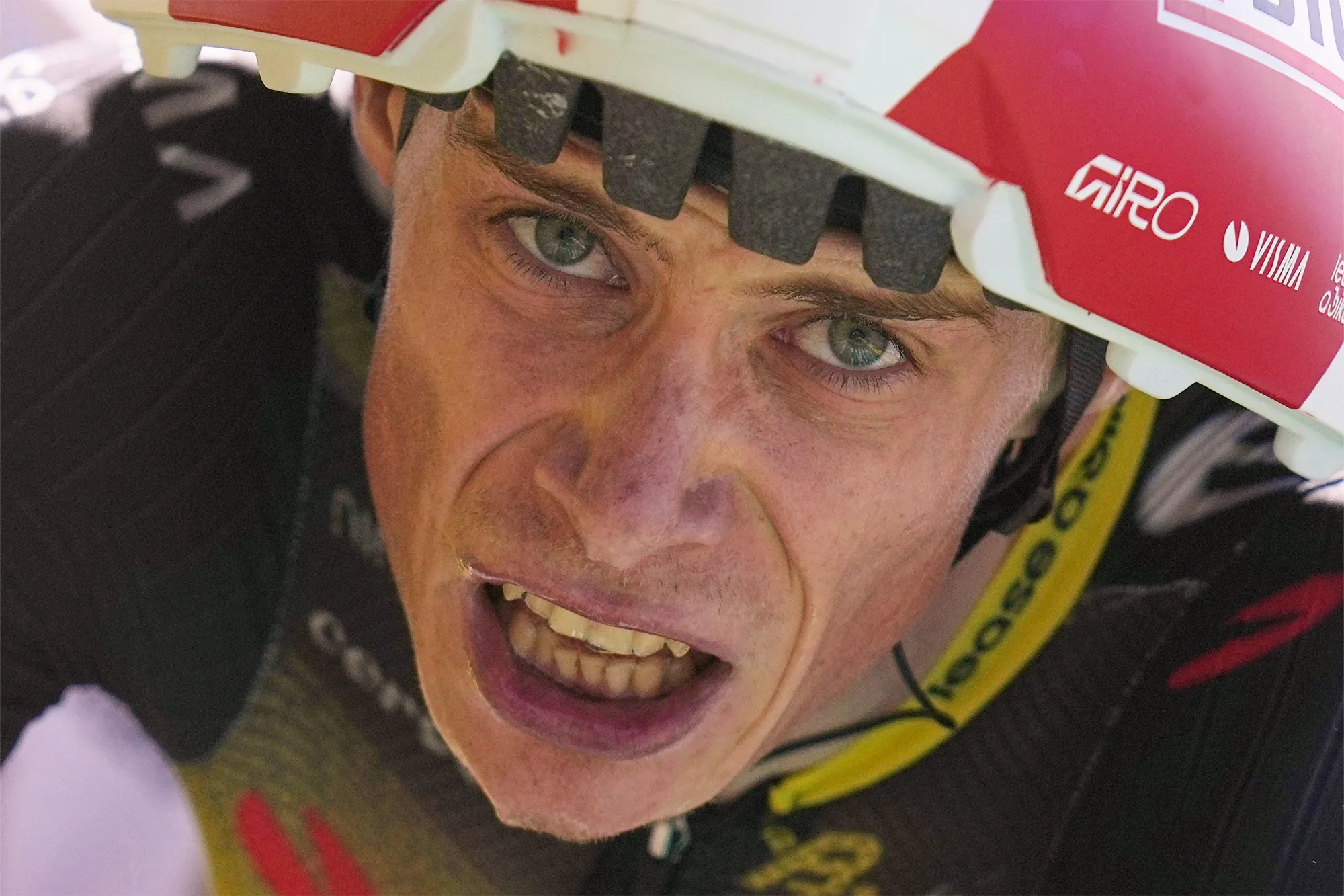
Denmark's Jonas Vingegaard crosses the finish line of the thirteenth stage of the Tour de France cycling race, an individual time-trial over 10.5 kilometers (6.5 miles) in the Pyrenees mountains with start in Loudenvielle and finish in Peyragudes, France, Friday, July 18, 2025. (AP Photo/Thibault Camus)

Slovenia's Tadej Pogacar, right, celebrates as he crosses the finish line to win the fourth stage of the Tour de France cycling race over 172.2 kilometers (107 miles) with start in Amiens and finish in Rouen, France, Tuesday, July 8, 2025. (AP Photo/Mosa'ab Elshamy)
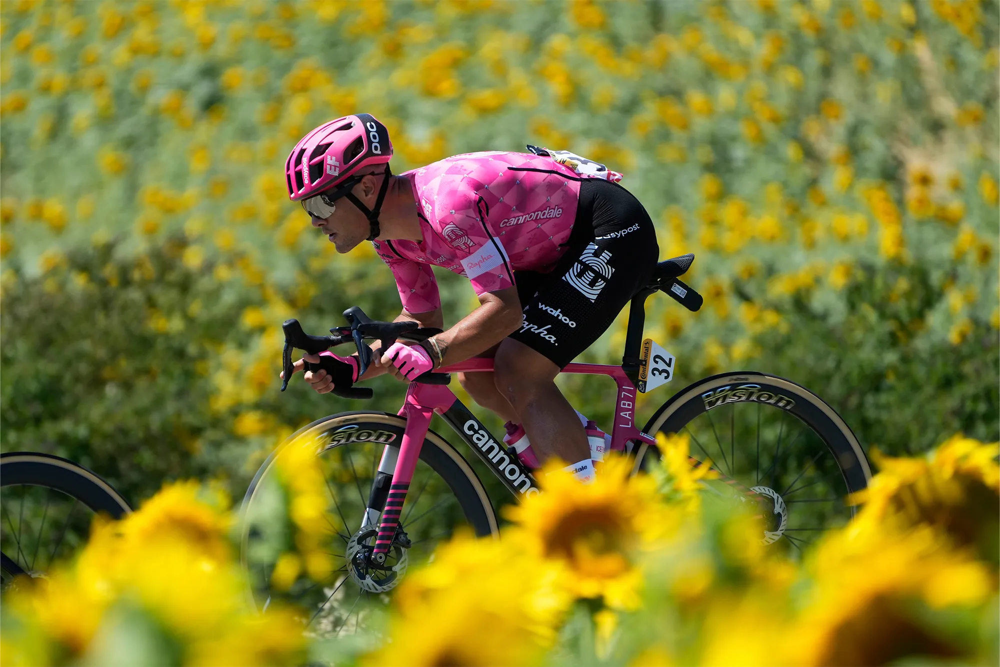
Italy's Vincenzo Albanese rides past a field of sunflowers during the eleventh stage of the Tour de France cycling race over 156.8 kilometers (97.4 miles) with start and finish in Toulouse, France, Wednesday, July 16, 2025. (AP Photo/Mosa'ab Elshamy)
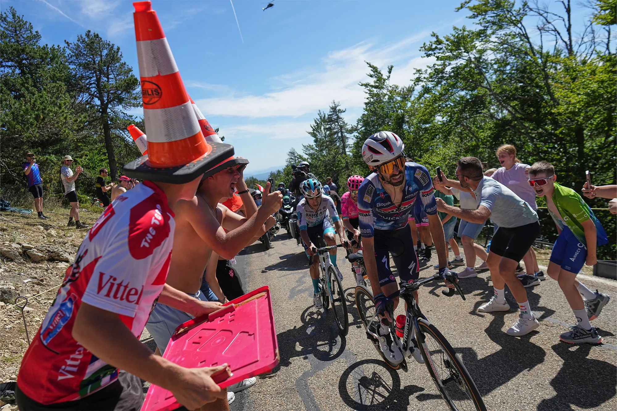
Stage winner France's Valentin Paret Peintre leads in the breakaway with Ireland's Ben Healy, in pink, and Colombia's Santiago Buitrago, in white, in the sixteenth stage of the Tour de France cycling race over 171.5 kilometers (106.6 miles) with start in Montpellier and finish on the Mont Ventoux, France, Tuesday, July 22, 2025. (AP Photo/Thibault Camus)


