Movement underground
Inside an active <a href="https://apnewstodays.pages.dev/hub/volcanoes" target="_blank" rel="noopener">volcano</a>, everything is moving: the rocks, magma, gas and aquifers. It all generates seismic signals.
Most of the world’s volcanoes that pose a risk to humans already have detailed maps of their interiors, but not <a href="https://apnewstodays.pages.dev/article/mexico-volcano-popocatepetl-scientists-baad6e912809ffa4d9586015209e0d2d" target="_blank" rel="noopener">Popocatépetl</a>, despite the fact that some 25 million people live within a 62-mile (100 kilometers) radius and houses, schools, hospitals and five airports could be affected by an eruption.
Other scientists took some early images 15 years ago, but they showed contradictory results and did not have sufficient resolution to see “how the volcanic edifice was being built,” and above all, where the magma gathered, Calò said.
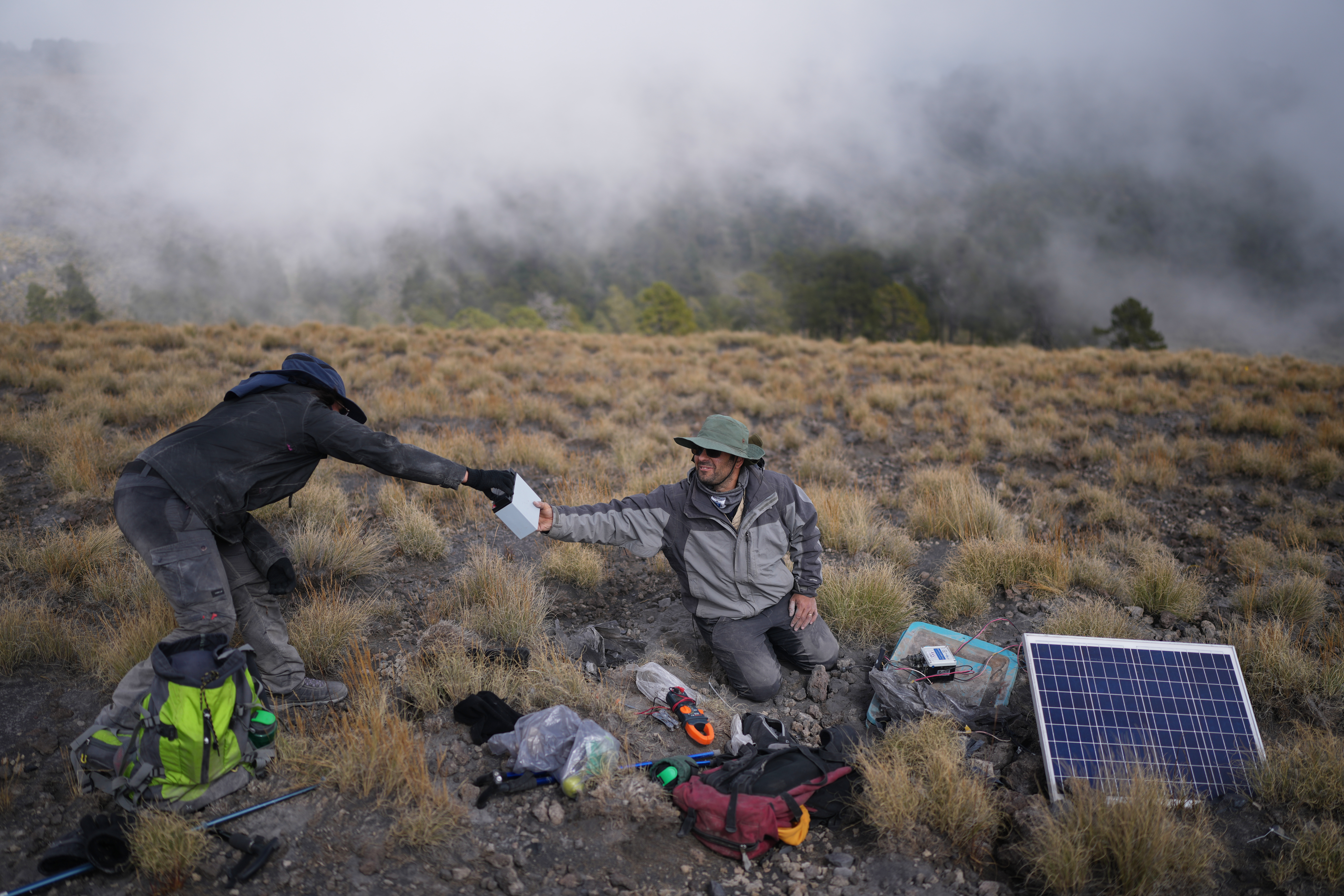
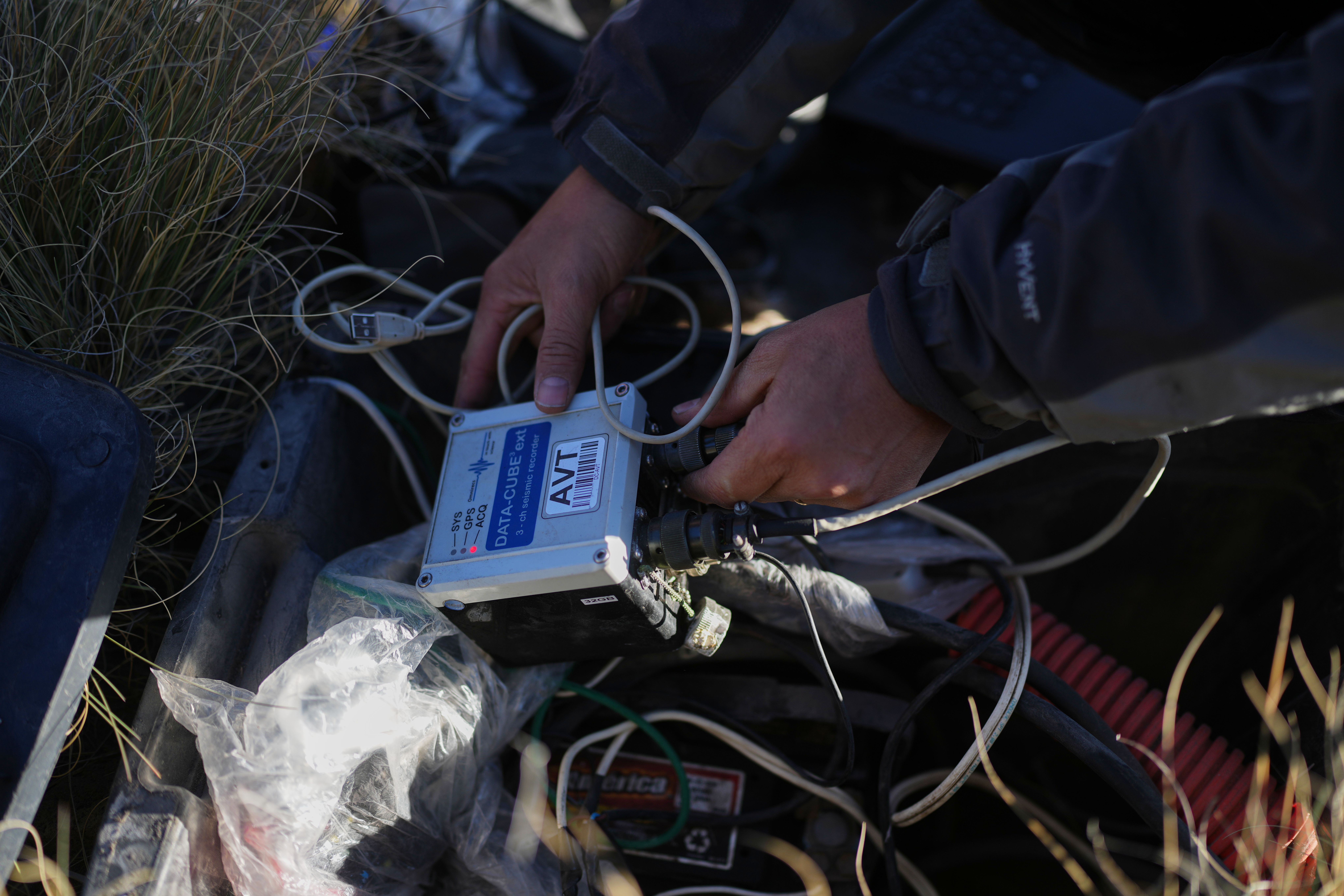
His team increased the number of seismographs from the 12 provided by Mexico’s National Disaster Prevention Center to 22 to cover the entire perimeter of the volcano. Even though just three can alert to an emergency, many more are needed to understand what is behind those emergencies.
The devices measure vibrations in the ground 100 times per second and generate data that Karina Bernal, 33, a doctoral student and researcher on the project, processed by using <a href="https://apnewstodays.pages.dev/hub/artificial-intelligence" target="_blank" rel="noopener">artificial intelligence</a> to adapt algorithms developed for other volcanoes.
“I taught the machine about the different types of tremors there are in El Popo” and with that they were able to catalog the different kinds of seismic signals, she said.
Little by little the scientists began to infer what kinds of material were where, in what state, at what temperature and at what depth. Later they were able to map it.
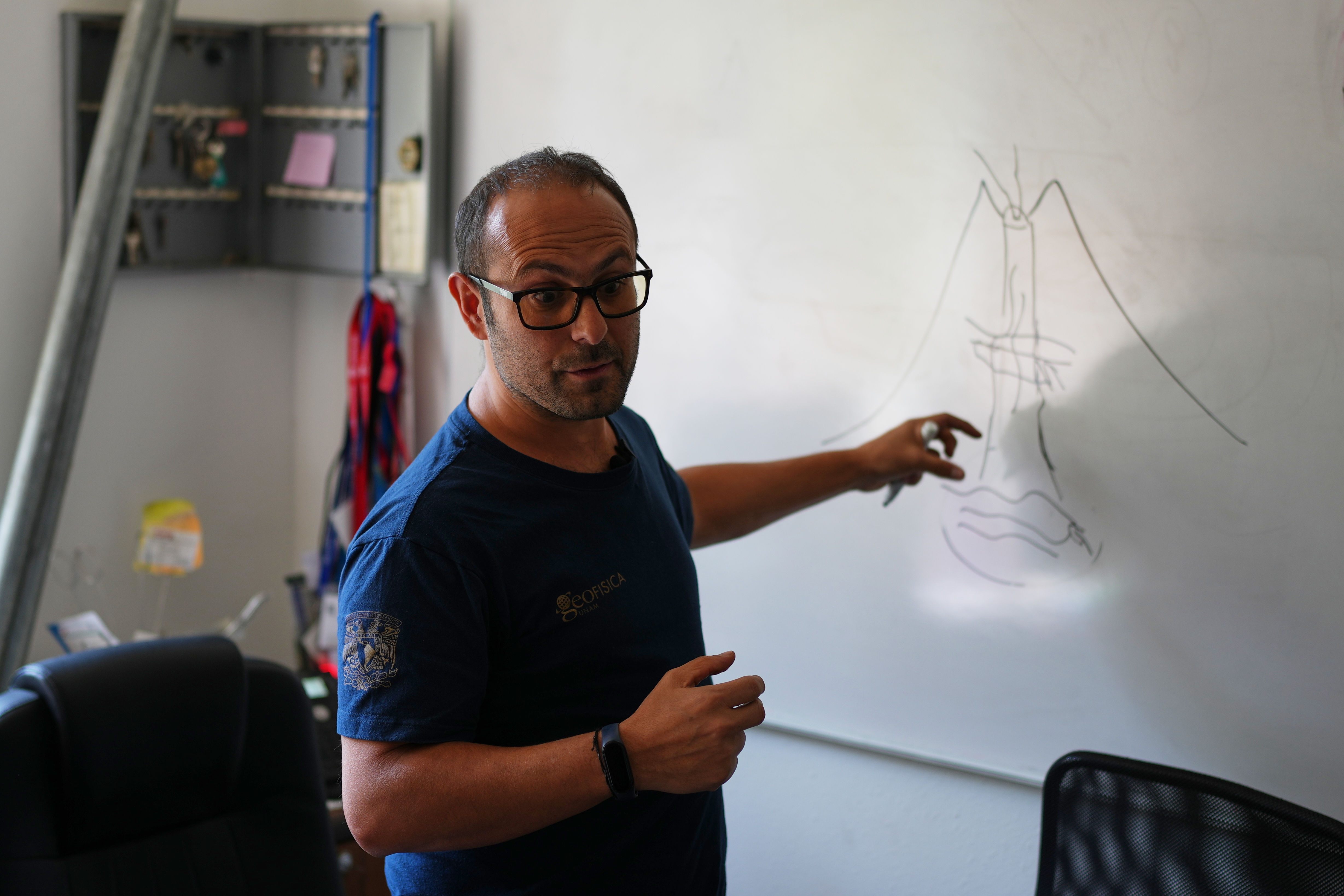
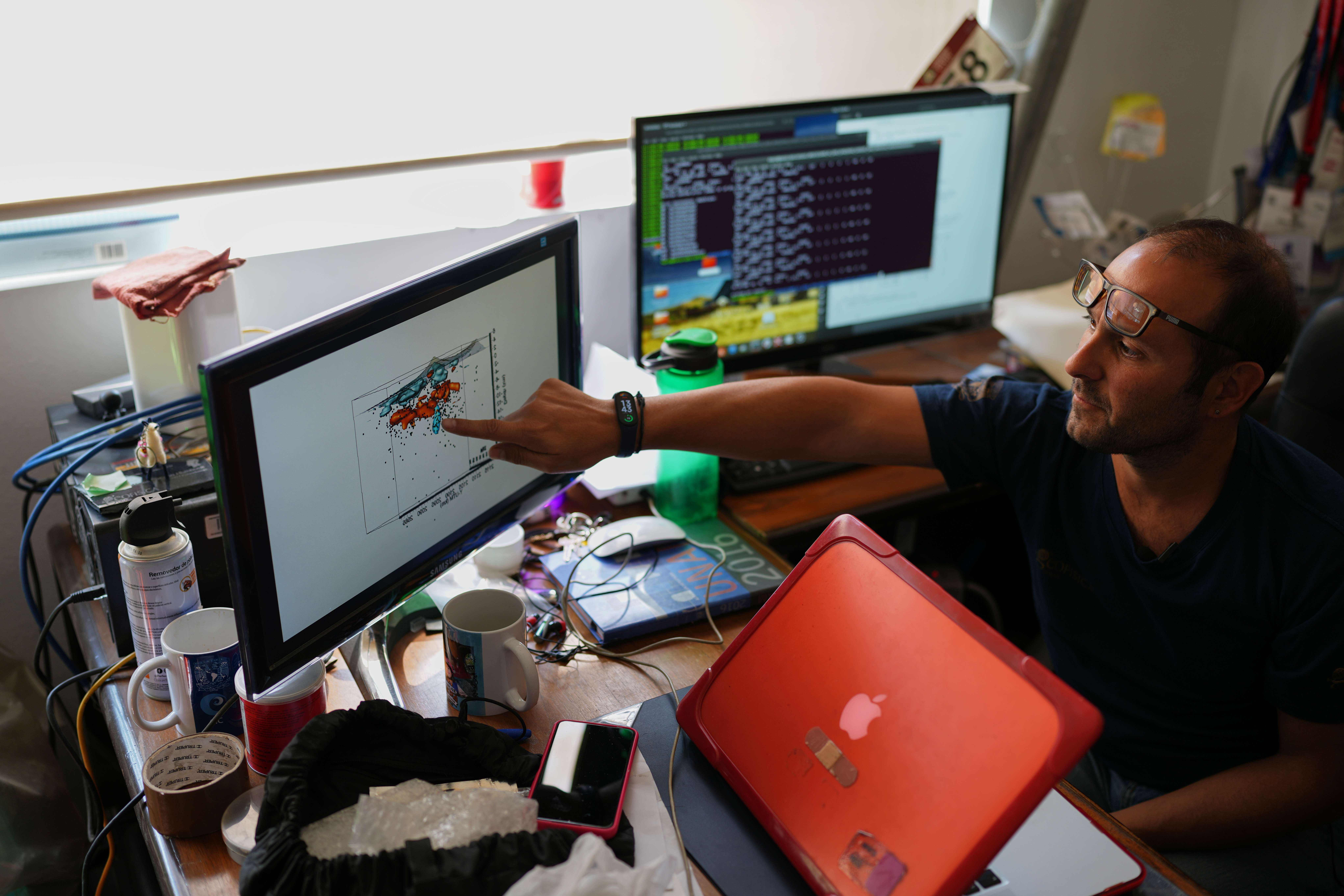
The result is far more complex than the drawings of volcanoes most saw in school, with a main vent connecting a chamber of magma with the surface.
This first three-dimensional cross-sectional image goes 11 miles (18 kilometers) below the crater and shows what appear to be various pools of magma at different depths, with rock or other material between them and more numerous toward the southeast of the crater.